以下是照片:
https://www.flickr.com/photos/edster-shih/albums/72157685806908254
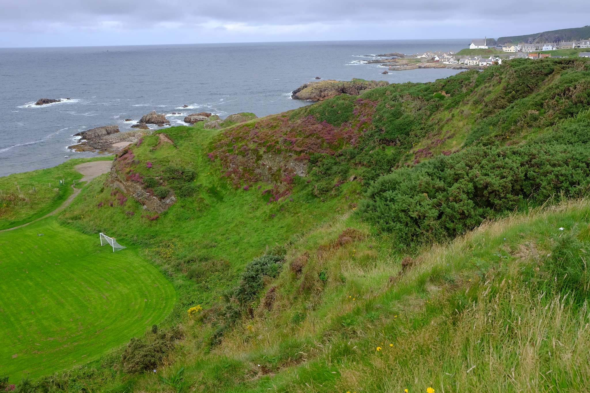
這條路線僅是蘇格蘭眾多高地路線的一條,但是真的頗漂亮,台灣要相比的話大概就是北海岸,但是北海岸沒有Trail只有公路。
走在車子旁邊跟走在沙灘、石頭上、稜線上的感覺就是不同。
選一張蘇格蘭北海岸的風景大概會是這張
或是這張 Common Seal

Edster
==== Record of Moray Coast Trail ====
路徑不是很長(72km),而且7成不是公路,在海灘上、在岩石上、在鵝卵石上 (很難走)、還要過一些小溪。還有些是會迷路的小徑 (看起來到處都像路)。
對路線完全沒概念的人可以從reference開始看起。
另外,海邊風很大,不要隨便學我用天幕+露宿袋。
至於鞋子,看老外走得很順,考慮去弄健走鞋了。我是去出差順道去走,鞋子就穿適合出差場合用的,結果超難走。
這種一下公路、一下土路、一下港口水泥路,還有最痛的鵝卵石路,鞋子真難選。
# Length Table
10. Cullen Bay: 2 Miles
9. Hard Rock Highway – Strathlene to Portknockie: 5 Miles
8. Spey Bay to Buckie – Dolphins, Ospreys and tales about Spies: 7 Miles
7. Lossiemouth to Spey Bay: Pines, pillboxes and shipyards, by an ancient sea of stones: 8 Miles
6. Covesea to Lossiemouth: Lossiemouth,an Island in a forgotten sea loch: 3 Miles
5. Hopeman to Covesea: Cliffs, caves and coves of the Hopeman Ridge: 6 1/2 Miles
4. Burghead to Hopeman bay section 2: Look No Trains: the line to Hopeman: 2 1/2 Miles
3. Burghead to Hopeman section 1: Caer nam Broch – Burghead of the Picts: 1 1/4 Miles
2. Findhorn to Burghead: Roseisle Forest and Burghead Bay: 5 1/2 Miles
1. From Forres to Findhorn: 6 Miles
# Referenced length (exclude Forres to Findhorn):
6+5.5+1.25+2.5+6.5+3+8+7+5+2 = 46.75 mile
# Actual length (from Cullen to Findhorn)
0826: 2 + 5 + 7 = 14 mile = 22.5 km
0827: 8 + 3 + 4 1/4 (Lossiemouth to lighthouse) = 15.25 mile = 24.5 km
0828: 2.25 (lighthouse to hopeman) + 2.5 + 1.25 + 5.5 = 11.5 mile = 18.5 km
total: 40.75 mile = 65.6 km
# Actual Time Table:
0826: 1320 Cullen - 2000 Spey bay (daily walk: 6hr 40 min)
0827: 0900 Spey bay - 1500~1730 Lossiemouth - 2050 Lighthouse near Covesea (11 hr 50 min)
0828: 0650 Lighthouse near Covesea- 0900 Hopeman - 1000 Bugerhead - 1310~1340 lunch - 1430 Findhorn (7 hr 40 min)
$ total time used: 6 4/6 + 11 5/6 + 7 4/6 = 26 1/6 hr (including rest, lunch, ice cream, buying)
$ total walking time: 26 1/6 hr - 1.5 hr (day1) - 1.5 (day2) - 2.5 (day2 in lossiemouth) - 1 hr (day3) = 20 1/6 hr
# Speed
$ average speed: 65.6 / (26 1/6) = 2.5 km/hr (including rest time)
$ average walking speed: 65.6 / (20 1/6) = 3.25 km/hr
# Reference
The Moray Coast Trail - walkhighlands
https://www.walkhighlands.co.uk/moray/moray-coast-trail.shtml
The Moray Coast Trail in a day!
https://www.walkhighlands.co.uk/Forum/viewtopic.php?f=9&t=65099
The Moray Coast Trail (Full Route)
http://www.morayways.org.uk/routedetails.asp?routeid=116
Other routes
Scotland's long distance walking routes
https://www.walkhighlands.co.uk/long-distance-routes.shtml#null
Discover Scotland's Great Trails
http://www.snh.gov.uk/enjoying-the-outdoors/where-to-go/routes-to-explore/scotlands-great-trails/
# Weight
Total Weight: 10.5 kg (without water and drink), extra 2 kg for cook in night, 2 kg for milk, 1.5 kg for drink while walk.
Cooking System: Alcohol stove with 500 ml fuel (<100 ml per day). ps: The Alcohol(90%) buy in "Boots" in Aberdeen Rail Station is terrible to wash, due to it will be sustained in anything. Waching out do not spill it while traveling.
Sleeping System: Bivy and tarp, no sleep bag and sleep pad
Clothes: mmmm, at last 3 kg.
Food: 500g oats could eat without cook as breakfarst, pasta as lunch, instant noodles*7 as dinner.


